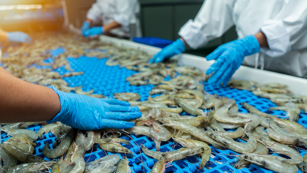
Do I need to know exactly where a vessel was fishing?


TL;DR: no, you don’t. This might be surprising given how much media attention fishing vessel tracking is getting these days. In reality, importing governments like the US and EU at most will ask for the area the fish was caught and where it was offloaded. Why require general fishing areas when GPS exists? Let’s talk about it.
Most of the millions of fishing vessels in the world (especially the smaller ones) don’t transmit their GPS location, but those that do typically have one or both of these onboard:
AIS: Automated Identification Systems publicly broadcast the location of vessels in real time to avoid collisions and ask for help in an emergency.
VMS: Vessel Monitoring Systems transmit their location in real time as well, but that data is encrypted and only made available to the licensing government to comply with regulations.
VMS data is more reliable and complete, but AIS data is public and therefore much more readily available for analysis. Universities, some companies, and a number of non-governmental organizations ingest historic AIS records and look for patterns. They publish (usually) grey literature reports that make projections about things like fishing activity, emissions, and safety measures. This is an interesting field of exploratory research but its findings should not be taken as sweeping truths about the fishing industry. The relatively sparse use of AIS, the privacy of VMS, and the fact that neither of these systems can prove where fishing takes place makes it difficult to see a future where GPS vessel location is required for trade. So, at least for now, imports focus on fishing area.
Figuring out the correct fishing area to report is not as easy as it sounds. The ocean is divided into hundreds of overlapping segments by groups like ICES, the United Nations and Regional Fishery Management Organizations, just to name a few. Depending on where your seafood is headed you might need to know one or more of these. Goldfish can help by ensuring that your information doesn’t conflict with itself (e.g. reporting an FAO and EEZ that don’t overlap), and that the fishery really exists. If translating GPS vessel location into fishing areas is a feature you would use, we’d love to hear from you.
Nerding out: What can vessel tracking teach us?
There are many examples of technology generated for one use and successfully applied to another, and making use of vessel location data is an area of active research. Here are a few deep reads we recommend to learn more about the promise and limitations of AIS analytics:
Conservation science and policy applications of the marine vessel Automatic Identification System (AIS)—a review (Bulletin of Marine Science)
The Maturity of Automatic Identification Systems (AIS) and Its Implications for Innovation (Journal of Marine Science and Engineering)
A comparison of VMS and AIS data: the effect of data coverage and vessel position recording frequency on estimates of fishing footprints (ICES Journal of Marine Science)